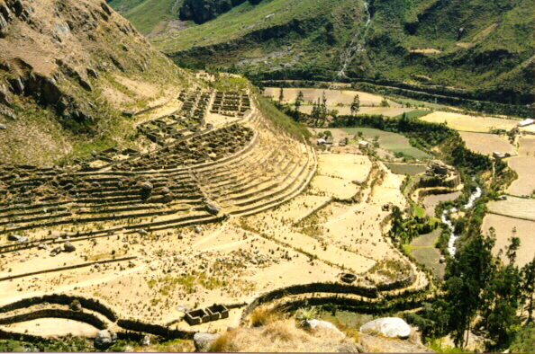
The Ruins on the Inca Trail to Machu PicchuThe Lost City of the IncasBrief Notes on the Main Archaeological Sites, with Photographs[ Llaqtapata |
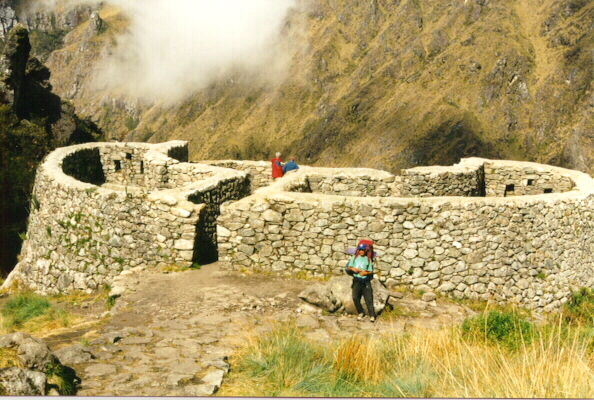
Runkuraqay | Part 1 of a four-part guide: Llaqtapata to Runkuraqay. You can click on any of the photos for a larger version of the picture. |
In general I have tried to use Quechua spellings for most places mentioned in these web pages. Alternative versions are shown below.
| Quechua | Hispanic | |
|---|---|---|
| Llaqtapata | Llactapata | |
| Qoriwayrachina | Qorihuayrachina | |
| Kusichaca | Cusichaca | |
| Runkuraqay | Runkuracay | |
|
|
||
| Go to the next section | ||